Parrot has announced that its ANAFI platform is now compatible with SPH Engineering’s professional mission planning software UgCS.
ANAFI users can now enhance professional drone operations and streamline land surveying and mapping processes by accessing the program’s vast range of tools.
“UgCS is one of the most advanced mission planning software for drones. Its unique features make it the perfect tool to complete complex and large-scale mapping projects,” says Jerome Bouvard, Parrot director of Strategic Partnership.
“This partnership will broaden the mapping capabilities and software options available to professional ANAFI users as a whole.”
Data
Data

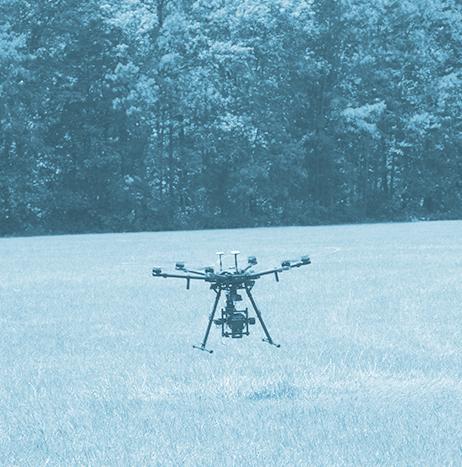
Drone Harmony decides to embed its flight mapping solutions with Altitude Angel's market-leading data
Unmanned Traffic Management (UTM) technology provider Altitude Angel has announced that software company Drone Harmony has opted to equip its flight mapping solutions with Altitude Angel’s market-leading data.
Drone Harmony is developing a data capture platform that enables enterprises to capture quality data of infrastructure assets. According to Altitude Angel, this addresses the main hurdle encountered when attempting to tap into digitalization benefits: the lack of complete, quality, and up-to-date digital databases representing the enterprise assets.

TomTom launches new product to ensure safe automated driving operations
TomTom (TOM2) has launched a new product for automated vehicles called TomTom RoadCheck that allows carmakers to decide where it is safe for drivers to activate their vehicles’ automated driving functions.

Ocean Infinity deploys AUVs to collect high-resolution geophysical and geotechnical data in Guyana
Ocean Infinity has announced that it has successfully completed its recent project for ExxonMobil within the Stabroek block offshore Guyana.
During the project, multiple AUVs were deployed simultaneously in water depths between 70 meters and 2,150 meters over an area of approximately 3,100 square kilometers to acquire high-resolution geophysical and geotechnical data.
Ocean Infinity says that the approach of autonomous operations at scale ensured that the data was gathered at “an industry-leading pace” and with a significant reduction in environmental impacts compared to conventional survey methods.

North Carolina A&T researchers to use drones to improve tropical forecasting and modeling
With a goal of improving tropical forecasting and modeling, a computational science and engineering faculty member and two Ph.D. students at North Carolina Agricultural and Technical State University (North Carolina A&T) will use drones to collect data from the eye of hurricanes.
In a project supported by NASA’s Jet Propulsion Laboratory (JPL), Hyoshin Park, Ph.D., and Ph.D. candidates Larkin Folsom and Justice Darko will look for ways to maximize the collection of data and possible flight paths in future storms. Park visited JPL during the summer of 2019 and used drones to formulate the problem of efficient hurricane data collection, in collaboration with Masahiro Ono, Ph.D., a research technologist at the laboratory.

Sonardyne, XOCEAN use USV to conduct live seabed-to-shore data harvesting mission
As part of a seabed monitoring campaign at the giant Ormen Lange field offshore Norway, Sonardyne International Ltd. and XOCEAN recently used a USV to successfully complete a pioneering live seabed-to-shore data harvesting mission for A/S Norske Shell.
Believed to be one of the largest data harvesting missions using a USV to date, the project was completed without a single person having to travel offshore or from their home office. According to Sonardyne, the project was achieved with “significantly less emissions, health and safety risk and cost” than could be done with a manned vessel.

Virtual Surveyor introduces new feature in drone surveying software
Virtual Surveyor has introduced a new feature in Version 7.2 of its drone surveying software that automatically highlights terrain slopes that exceed dangerous steepness thresholds.
The capability is called Slope Threshold lens, and according to Virtual Surveyor, it greatly enhances the safety of operations in a variety of dynamic environments with steep terrains such as sand pits and quarries.

GA-ASI's first production-representative MQ-9B SkyGuardian completes first flight
General Atomics Aeronautical Systems Inc. (GA-ASI) has announced the completion of the first production-representative MQ-9B SkyGuardian Remotely Piloted Aircraft (RPA).
The aircraft completed its first flight on March 30 at GA-ASI’s Flight Operations Facility in El Mirage, California.
“With first flight of the production-representative aircraft, we remain on schedule for delivering MQ-9B Protector to the RAF,” says Linden Blue, CEO, GA-ASI.
Protector RG Mk1 is being acquired for the UK Royal Air Force’s configuration of SkyGuardian.

Parrot, DroneLogbook partner to provide enhanced flight data tracking to Parrot's UAS
Parrot has partnered with DroneLogbook, a flight logging service that provides secure data storage, which will result in the addition of enhanced flight data tracking to Parrot's ANAFI drone.
With this enhanced flight data tracking, pilots will be able to keep track of their equipment’s performance, schedule necessary maintenance, and record and report all pertinent information to comply with FAA regulation.
Using the aerial insights provided by Parrot’s ANAFI and ANAFI Thermal drones, professionals gain “new vantage points” to make informed decisions with higher precision and efficiency, Parrot notes.

Altitude Angel, INVOLI partner to provide 'unrivaled picture of airspace' for UAS operations
Unmanned Traffic Management (UTM) technology provider Altitude Angel is partnering with low-altitude air traffic data provider INVOLI to provide what they’re describing as “an unrivalled picture of airspace” to ANSPs, operators, pilots and drone-centric risk management applications.
After working together informally on a few initiatives, Altitude Angel and INVOLI believe a strategic partnership is beneficial for both of them. Most recently, the companies worked together at the African Drone Forum and Lake Kivu Challenge 2020, where Altitude Angel served as the lead and umbrella UTM provider, while INVOLI delivered its air traffic awareness system and drone tracking platform.