The William T. Pecora Award is presented annually to individuals or teams using satellite or aerial remote sensing that make outstanding contributions toward understanding the Earth (land, oceans, and air), educating the next generation of scientists, informing decision-makers, or supporting natural or human-induced disaster response. Both national and international nominations are welcome.
The award is sponsored jointly by the U.S. Department of the Interior and the National Aeronautics and Space Administration and was established in 1974 to honor the memory of Dr. William T. Pecora, former Director of the U.S. Geological Survey and Under Secretary, Department of the Interior.
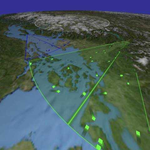
Mapping
Mapping
Webinar: Application & Implementation of High Accuracy Magnetometers on Unmanned Vehicles
Date & Time: Wednesday, March 19, 2025, 3:00-4:00 PM ET
Webinar Description/Abstract: Magnetometers are indispensable tools for navigation, but achieving accurate data requires careful consideration of environmental, instrumental, and operational factors. Proper calibration and interference reduction are essential to maximize accuracy. Understanding and addressing the factors influencing magnetometer accuracy will ensure reliable and precise results when developing uncrewed navigation systems.
About the Speakers:
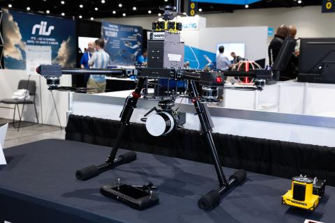
L3Harris Completes Successful Demonstration with Startup to Deliver AI-Enabled Solutions
L3Harris successfully integrated its WESCAM MX-Series EO/IR systems with Overwatch Imaging’s ASO software, providing customers with advanced AI-driven solutions
L3Harris recently collaborated with Overwatch Imaging to conduct a two-day demonstration of its WESCAM MX™-15 and WESCAM MX™-10 electro-optical/infrared (EO/IR) systems integrated with Overwatch’s Automated Sensor Operator (ASO) software.
Decoding Earth's Fingerprint: Advanced Navigation and NILEQ Collaborate on Breakthrough Resilient Navigation Technology
Global, November 2024 – Advanced Navigation, a world leader in autonomous systems and navigation technologies, along with MBDA, have signed a Memorandum of Understanding (MoU) to co-develop a resilient navigation system integrating MBDA’s NILEQ absolute positioning technology.
Suitable for the modern era, the co-developed solution will provide resilient absolute positioning for a multitude of airborne platforms. The agreement will see the companies foster joint research and technology development between the United Kingdom and Australia.
WARGdrones, Battle Area Clearance GmbH, and ARX Robotics Unveil Project Vulture: Revolutionizing Rapid Mine Barrier Breaching
Germany – In a groundbreaking collaboration, WARGdrones GmbH (www.wargdrones.com), Battle Area Clearance GmbH (https://www.ba-clearance.com/), and ARX Robotics (www.arx-robotics.com) proudly announce the successful development of Project Vulture, a cutting-edge system designed for rapid breaching of mine barriers in combat zones. This advanced demonstrator is engineered to clear minefields in under five minutes, addressing the urgent need for swift and safe passage in the heat of battle.
Saildrone Welcomes House Armed Services Committee Members to California Headquarters
CEO Richard Jenkins provided members with a look at how Saildrone is developing cost-efficient, alternative technologies to transform the battlefield.
From left: Rep. Matt Gaetz, Rep. Carlos Gimenez, Saildrone CEO Richard Jenkins, Chairman Mike Rogers, Rep. Sara Jacobs, Rep. Nancy Mace, Rep. Jen Kiggans, Rep. Marc Veasey, Rep. Ro Khanna, and Rep. Rich McCormick in front of two Saildrone Surveyor USVs and other smaller vehicles at Saildrone Headquarters on the former Naval Air Station in Alameda, CA.
Saildrone Kicks Off First-of-its-Kind Mission to Map Cayman Islands Waters
The data collected will improve maritime navigation and support scientific research, environmental conservation efforts, and marine resource management in the Cayman Islands.
The waters surrounding the Cayman Islands are rich in marine biodiversity, including coral reefs, seagrass beds, and diverse fish species. A high-resolution map of the seafloor is a prerequisite for exploring, identifying, characterizing, exploiting, conserving, and managing ocean resources.
Chance Maritime Technologies and HydroTerra Survey Southwest Louisiana for CPRA
Lafayette, LA (Jun. 17, 2024) – Chance Maritime Technologies, an innovative startup and service provider of uncrewed vessel technology, provided autonomous vehicle data collection services for HydroTerra Technologies, a leading full service land and hydrographic surveying firm, to deliver 670 nautical miles of bathymetric data to the Louisiana Coastal Protection and Restoration Authority (CPRA).
Kongsberg Geospatial Provides Unparalleled Situational Awareness on the Battlefield and Across the Corn Field
In many cases, technology developed for, and used by, the military crosses over successfully into the commercial sector. This month on the Dawn of Drones podcast, we focus on such crossover tech, thanks to our sponsor, Kongsberg Geospatial.